Cycling tourism, long-haul voyages
The Sierra de Aracena and Picos de Aroche Natural Park consists of several long-distance trails called GR, that can be tackled in different ways. In self-sufficient cycling, you will load in your saddlebags all the necessary material to survive until completing the journey. You can also choose to make your trip with light saddlebags. Services such as accommodation, Meals or bicycle maintenance will be found in the towns through which you travel. There is also the alternative of taking a trip organized by a company (in the Natural Park you will find several), in such a way that you do not have to carry luggage and a support car can solve possible incidents.
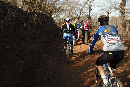
On Route. Road cycling
The wide network of secondary roads that connect the municipalities of the Sierra region, make it a perfect destination for you to practice road cycling. These types of roads are usually in a very good state of conservation and in general they are not very busy so they have little traffic. The different slopes offered by the terrain allow you to travel routes with mid-mountain passes of different difficulties, making them very attractive for lovers of this modality. Without forgetting of course, the beauty of the landscape of the places through which they pass. All these conditions make the Sierra the perfect destination to host cycling teams during their training sessions and preseason..
Mountain biking routes (Mountain Bike) for all
In the Sierra de Aracena and Picos de Aroche Natural Park you will find more than 700 km of trails with different levels of difficulty. You will find numerous accessible paths where you can spend a day of family cycling or just do a little sport. For example, there are uncomplicated terrain to get started in Cross Country, but also a sharp orography with descents, jumps, quarries or banks to practice the Trail Mountain, more demanding. Even enduro, in which pedaling is a mere procedure to reach complicated roads to travel at full speed, you will find your regular practitioner here.
Family routes: enjoy the four seasons
With a moderate climate of mild winters and short summers, the Sierra de Aracena and Picos de Aroche is a unique destination for cyclists at any time of the year. Walking the paths that surround the chestnut forests in autumn is a unique spectacle of color, also at this time nature offers you its seasonal fruits such as chestnuts, acorns, strawberry trees or an astonishing variety of mushrooms for which the Sierra is considered one of the most important zones of mythological wealth in Europe.
BICYCLE ROUTES THROUGH ARACENA
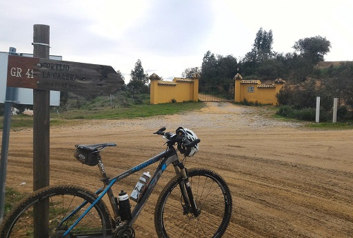
Cordel de las Buervas (GR 41)
The Cordel de las Buervas path crosses the Sierra Norte de Huelva from northwest to southeast. Some sections run on roads, since some old roads have been paved. This route in the province of Huelva runs 88 km through the municipalities of Encinasola, Summits of San Bartolomé, La Nava, Valdelarco, Cortelazor, Aracena, Corteconcepción and Zufre.
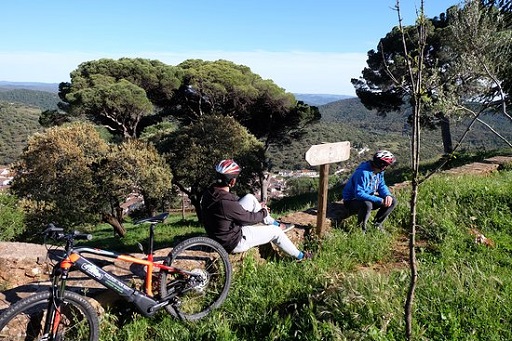
Cañada Real Leonesa Occidental (GR 42)
This route runs through the Sierra de Aracena and Picos de Aroche Natural Park from the south to the northeast. It runs from Aroche to the border with Extremadura. It has a total length of 56 kilometres, which are usually covered in three stages through the municipalities of Aroche, Summits of En medio and Segura de León (Badajoz). It is a livestock route in an environment of gentle slopes and beautiful landscapes with holm oaks.
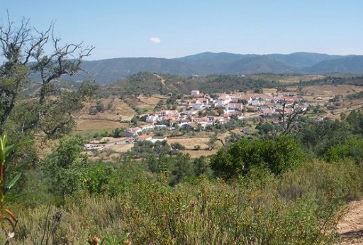
Discovery Land (GR 46)
This trail runs along paths in the mountains that traditionally linked towns and villages in the area. During most of the route, it passes through areas of pasture with Mediterranean scrub and areas of small orchards destined for family consumption..
Sierra Morena Trail (GR 48)
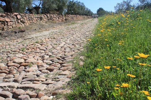
Route of 600 km that crosses all Andalusia by 30 municipalities and natural spaces. Its section in the Sierra de Aracena and Picos de Aroche begins in the town of Encinasola and ends in Santa Olalla del Cala. During your tour we will enter between jarales, riparian forests, olive groves and meadows, we will cross crystalline riverbeds and old causeways, we will observe towers and fortifications, we will see birds and we will find hydraulic mills and old disused mines.
TransAndalus
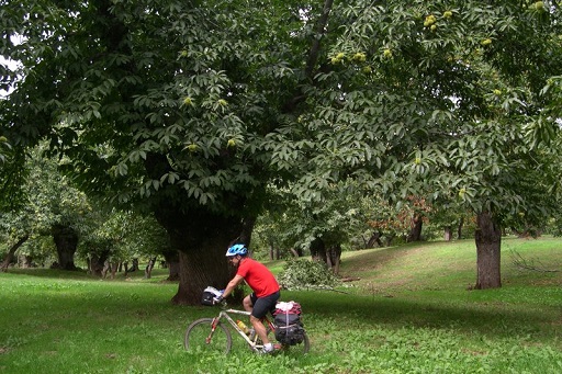
Route that starts in Santa Olalla del Cala. Cross beautiful cattle pastures and old mines. On his rise, the landscape is transformed into forests of large chestnut trees, holm oaks and cork oaks, accompanied by lush riparian vegetation in its many streams. In Aroche, the landscape turns into pasture and, already immersed in the Picos, in pine forests dotted with other species such as those mentioned above or eucalyptus.
HIKING TRAILS
Ascent to Cerro San Cristóbal – Almonaster La Real
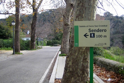
A paved section brings us closer to an old mill in Rodezno. A steep zig zag climb leads us to a new fork. We take the path to the left, that goes up to a kind of trough. At the end of the climb, we found the Port of the Crossroads. We go up the path on the right to an asphalt track and a viewpoint next to a fire control booth. We go down the sidewalk until we reach the road, and when crossing a stream we find ourselves back on the path of the route.
The Fountain of the King El Rebollar: Aracena and Corteconcepción
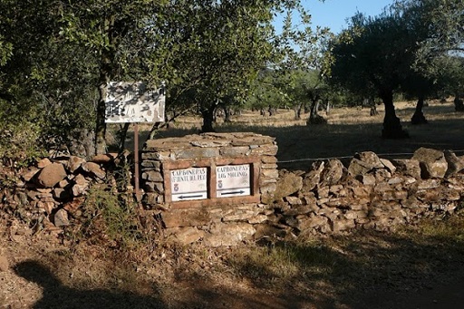
We take the path that comes out to our right from the road, going down gently. We see the King's Fountain on our left. Between mixed forest areas we go down until we reach a fork. We go down to the right. We waded the stream. We go up a narrow and stony path next to the Molino del Bombo that passes through stone walls. We enter Corteconcepción. We leave the urban area and go up an alley to a picnic area. Soon we arrived in the vicinity of Aracena.
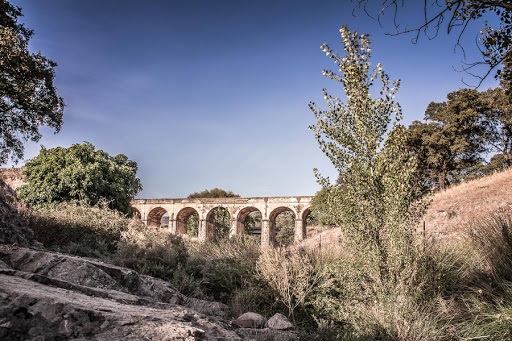
Path of the abyss – Arroyomolinos de León
We start our path on the left side of the church. We carry the creek of the abyss to our left. In this area there are several mills of Rodezno, today in ruins. We run through the ravine. We climbed until we reached an area of oaks. At the crossroads, we turn right. We continue to the Puerto de la Gila, where do we start to go down. We passed a cemetery. We enter the town through the back of the church, to the square from where we started.
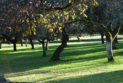
Tres Encinas Route – Cala
We started on Córdoba street. We passed the school and the sports hall. A little further on we see the Hermitage of Nuestra Señora de la Cala. We continue forward until we find a narrow street that leaves to our left with signs of the GR 48. The road turns into a path next to a stream. We are in an area of holm oak meadows. We hit the road. We cross the asphalt and take a path that goes straight ahead. We see a stream with riverside forest and a fork, we take to the left. We arrive again at the town of Cala.
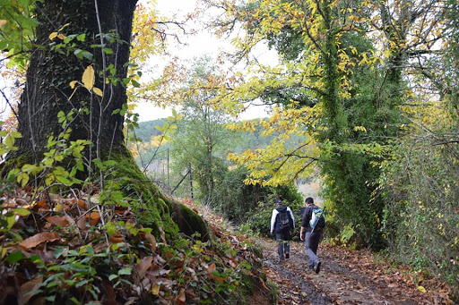
Route of the fords of the Múrtiga – Castaño del Robledo and Galaroza
We started our trail on the highway, next to the bus stop. We crossed the Calvario neighborhood. The path is embedded between stone walls and descends to the Ribera de Jabugo path. We reached a small bridge that crosses the Múrtigas River. We ascend with strength and speed. We hit the road and drove for 1 km to Galaroza. We went down a path, leaving behind a couple of farms, and then we started to ascend. We reached the highest point of the route. We went down to the road again, going back to the starting point.
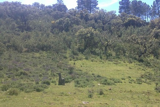
La Barquera and La Guijarra – Cortelazor la Real
We leave the urban area through Parralejo street, next to the church. We reached the river bank and crossed a bridge. We started to climb, meandering. We passed some houses. We follow the main path until we reach the highest area of the trail, and then we started the descent. We found several crossroads. We overcome the course of the Guijarra stream. We passed a farmhouse, and at a kilometer we ascend again. We go along the main road until we reach the access to Cortelazor.
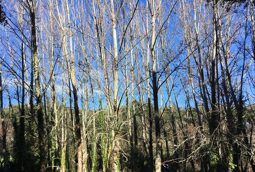
Valdelama route – Fuenteheridos
We start from the Plaza del Coso on the road that goes to Jabugo, deviating by the first path that we find on our right, between walls. We reached the N-433 road. We crossed it, taking the path that continues straight ahead. We came to a kind of trough. We continue climbing surrounded by the pasture. We passed through an area of orchards. A hard climb brings us back to the urban area of Fuenteheridos.
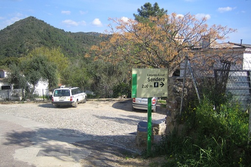
Route of Linares / Alájar – Linares de la Sierra and Alájar
We leave from the bus stop, in the upper area of town, and we headed down the highway to the southwest. We arrived at a rural tourism facility and we skirted it through an alley with orchards on both sides. The road begins to climb, it becomes stony. We cross a pasture called Marilozana. We waded a stream. We arrive at the village of Los Madroñeros. We went up to the port. Then we descend to Alájar. We see in the background the Peña de Arias Montano. We left town. We follow a signposted path through the Natural Park until we reach Linares again. We ascend to the port and take a path that zigzags along a ravine to the cemetery, close to where our tour ends.
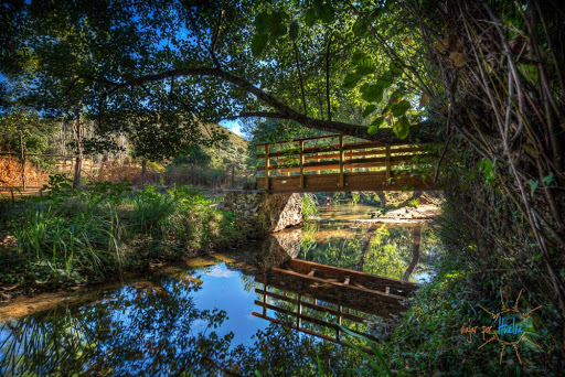
Route of the Rivera de Santa Ana – Santa Ana la Real
We took the Camino Maisevilla, leaving to our right two old rehabilitated eras. We passed two lime kilns and a quarry. We flatten to the viewpoint of La Cruz, then we start a steep descent to Los Veneros. We passed by the facilities of Sierra Centro de Arte. After a kilometer we reached the ruins of a house. We look for the path that goes up to the cliffs. We arrived at Risco Levante, a place of singular beauty that allows us to descend to the shore. We passed an old mill. We cross several bridges that lead us to the village of La Presa. A short stretch of climb leads us to the town of Santa Ana la Real.
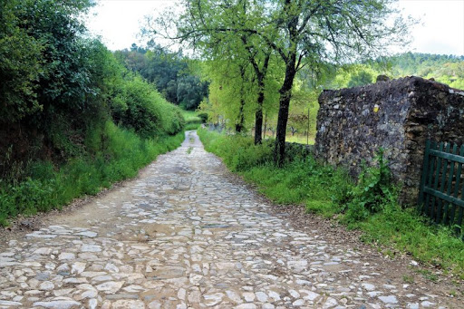
Ribera de Jabugo Trail
This path connects Galaroza with Castaño del Robledo through an area fed by the Múrtiga river, that receives the name of Ribera de Jabugo. The great plant diversity makes this itinerary one of the most representative and spectacular in the Sierra de Aracena y Picos de Aroche Natural Park. The first section of the trail is shady and wet, which is reflected in the vegetal tapestry formed by ferns, poplars or willows. Once we got away from the river, the road is steep. We will be accompanied by cork oaks, oaks and some gall oaks. The slope softens as we approach Castaño del Robledo.
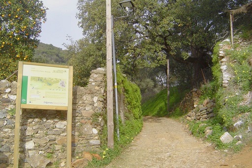
Aracena Trail - Linares de la Sierra
The Sierra de Aracena has the most extensive system of towns and villages in the entire Sierra Morena. They weave a network of roads that nurtures a historical and cultural value. This path between the mountain capital (Aracena) and Linares recalls landscapes of times past. Walk through the valley between orchards and holm oak groves on whose acorns the Iberian pigs that give this land its fame feed.
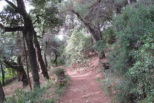
Sendero Alájar - Fuenteheridos
Between Santa Ana la Real and Linares de la Sierra is the town of Alájar where this simple route begins that reaches Fuenteheridos located to the north, Although it can also be done in the opposite direction following the route that passes through a multitude of chestnut trees. Along the route you will find informative posters about the route and different trails that take you to other nearby towns. The route begins in a street of Roman construction (Rosales Street) that you will have to follow until the end, where you will see the trailhead signage, a path that will show us panoramic views of the valley. The trail is characterized by its first steep rise and subsequent descent among extensive vegetation.
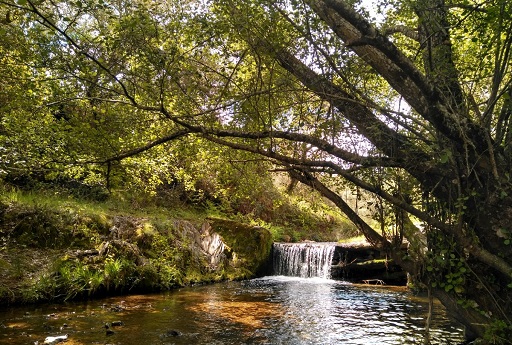
Cortegana Trail – Route of the mills
This route bears witness to the importance of the flour mills in Cortegana, built in the 15th century near rivers and streams. Has some 8 km of circular route that allow us to enjoy the beautiful vegetation of the Park. A lush gallery forest runs along the Las Carabañas stream. At the Posada de Cortegana we rest and have a snack before returning to the town on the road to La Alameda (Ancient route between Ayamonte and Badajoz).
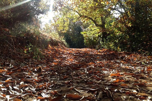
Fuenteheridos Trail - Cortelazor La Real
At the end of Puente Street we ascend to a rest area. We advance between walls along a Roman road until we reach a regional road. We descend through a dense forest of holm oaks and cork oaks until we reach a crossroads. We go down to the right, next to a stream. Finally, we ascend strongly before reaching the town of Cortelazor.
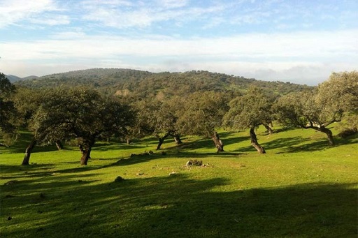
Las Murtiguillas Trail - Galaroza
This variant of the Cordel de las Buervas departs from the path to reach the farmhouses of Las Murtiguillas. The route ascends and skirts the Piedra Búha by a Roman road to the Puerto de la Encina. We enter a thick jaral in the heart of the Sierra de Aracena, in the middle of the Múrtigas river valley. The vegetation consists mainly of holm oaks and olive trees. We arrived at Monte Júrala and Alto de la Mesa, where the María Luisa mine is located. We go south, passing near Valdegalaroza. We take a lane that goes into the shady area of Galaroza until we reach the town's cemetery..
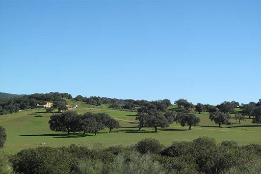
Trail Santa Eulalia - Alájar
The route starts from Santa Eulalia –where Almonaster la Real celebrates its centennial pilgrimage–, along a road that connects it with the N - 435. We cross a large holm oak grove around which we find mountains crowned with eucalyptus trees., chestnut trees, alcornoques, pines ... The path leads to the plain along the Rivera de Santa Ana. We head north and look for a pass between the mountains of Pico and La Giralda. We continue the march along the Rivera de Alájar.
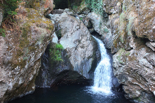
Cortelazor Trail – Bad puddle
The charming Charco Malo route has 5,5 km in length. It is an idyllic corner not easily accessible where water is the best example of its value as a source of life., with the Arroyo de la Guijarra watering its banks. The trail starts from Cortelazor la Real. We descend after a few 2 km, accompanied by an important forest mass of holm oaks, cork oaks and riparian vegetation. This tour is not suitable for young children, nor is it advisable to do it without shoes or suitable clothing.
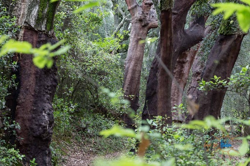
Castaño del Robledo Trail – Bridge of the Casares
A cobbled path leads to the cemetery. A short plain between pines and cork oaks takes us into a scrubland area. We reached the edge of a steep drop. The road skirts the cemetery and goes up. We go to the right at a fork and descend along a stream into the valley. A deviation leads us to the Chorros de Joyarancón, a spectacular waterfall of 50 m high. Finally, we arrived at the ravine of the Casares, whose route we continue until we reach the road between Alájar and Santa Ana la Real.
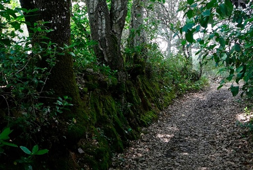
Aracena trail – The marines
The route begins with a gentle descent along a concrete track that takes us into a chestnut forest.. The brown colors give way to the intense green of the holm oaks and cork oaks that feed the pigs that are seen along the road. We start a climb that leaves us at the gates of the Marines. We cross the N-433 in the direction of Chorrito, the highest place on the route. We contemplate the spectacular views of the mountains. We descend to the Manantial del Tío Cano. We discard the path that leads to Linares to start the hard climb to Aracena.
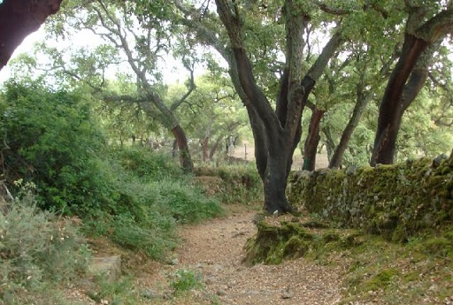
Los Madroñeros Trail
If we choose to travel this old road between Alájar and one of its many villages, we will have the opportunity to get closer to knowing the landscapes and ways of life characteristic of these mountains, such as the praised symbiosis between man and nature that occurs in the meadows or the scattered settlement of the mountain villages, substantial values of the Sierra de Aracena and Picos de Aroche Natural Park. The landscape takes us here into another dimension, as if history had stopped at some point when another economy ruled and coexisted under other cultural guidelines.
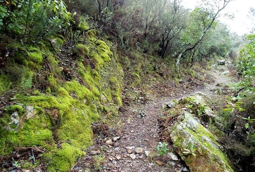
Risco de Levante Trail
The trail begins in the vicinity of the Fuente de los Tres Caños, in the town of Santa Ana la Real. We are approaching the village of La Presa. The trail follows the course of the stream, parallel to a forest, to the House of the Ribera. There, the road forks. On the right we cross beautiful meadows of cork oak and holm oak. To the left, we will pass through the Rivera de Santa Ana. The path ends a few meters after the steepest part of the route has been passed.. The landscape opens towards the place known as Los Veneros.